
1·
1 year agoThat’s great observation.
That’s great observation.
Well, this really was a deep-dive! I appreciate the help. I’ll edit my OP again 😆
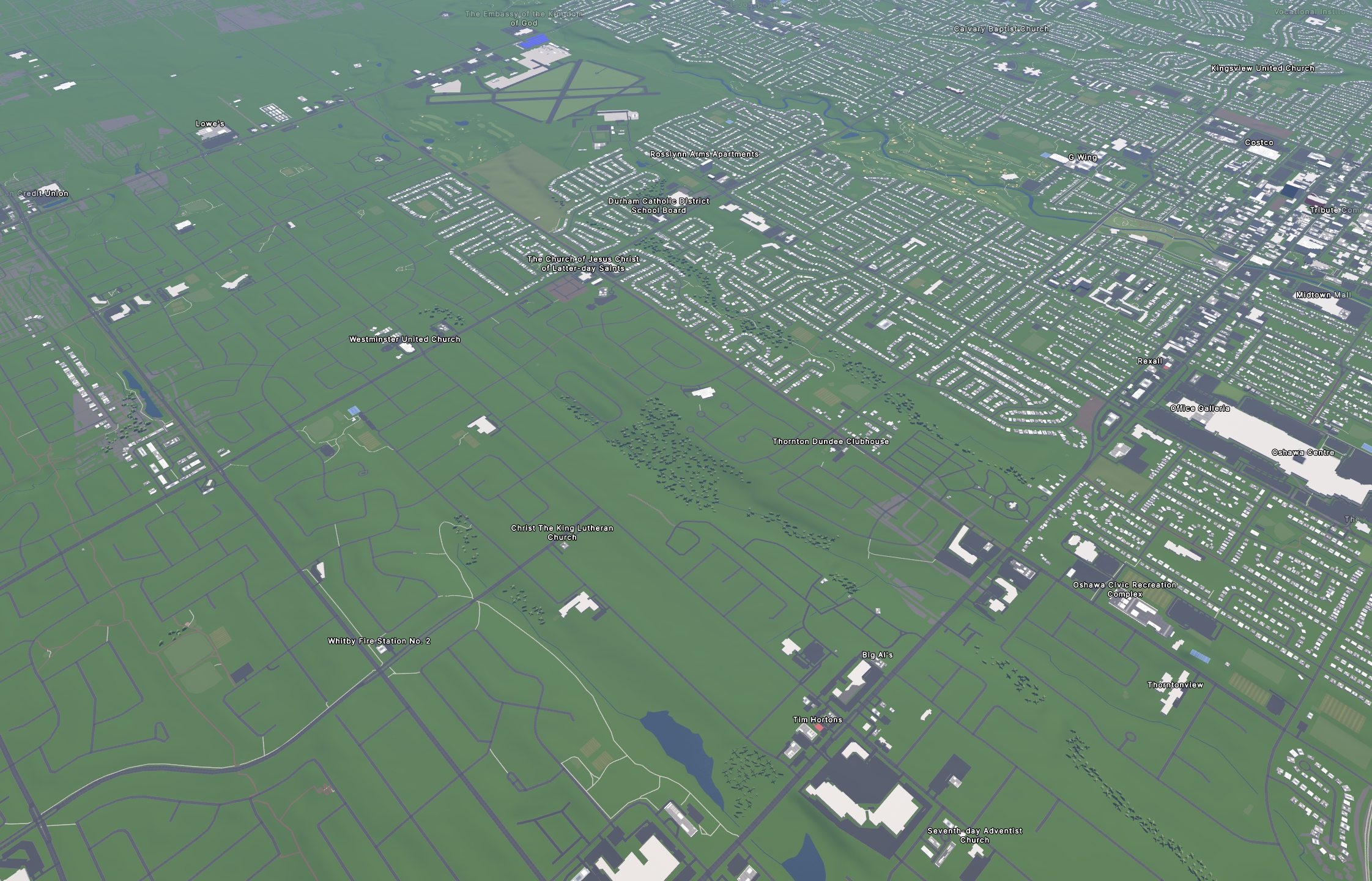
Thank you. The link is here: https://durhamregion.maps.arcgis.com/apps/webappviewer/index.html
You have to zoom into “The Regional Municipality of Durham” (Ontario, Canada) and enable the “Durham Imagery” basemap.
in its two variants
Maybe I’m misunderstanding, then. I didn’t see it mention “two variants”, and we’d only be talking about more recent images of the same satellite imagery.
ESRI does have their own editor for OSM, but I’m not sure if they use the same maps as the stock OSM editor or something else. Maybe I’ll give it a try and see if we have access to more.
In either case, I have no plans to actually use my municipalities version for actual mapping (way too tedious, even to try), but it’s so interesting to see these very recent images.
Updated my post. Looks like all ESRI imagery can be used!
Yeah, it’s really unfortunate that nearly all street-level imagery are either locked behind closed doors or have closed licenses.
I could use Mapillary, but that’s owned by META. The rest are so lacking that it’s not even worth the time to contribute to them or use their existing data set (but this is a chicken and egg situation).
Canada is where I’ve seen it.
Oh wow, that opened up a can of worms!
Yes, the user does seem to work for Lyft, and their profile has a few links. One leads to:
"We have 3 kinds of data that owned by Lyft:
“Lyft telemetry data" – Lyft drivers GPS tracks
“Lyft-owned street-level imagery” - photos collected by cameras installed in our drivers' vehicles. This data is updated frequently. Photos are not older than a year, and sometimes even a month.
"Lyft-owned aerial imagery" – As for now it is Nearmap imagery. They do allow us to use their imagery for OSM edits by license.
"
I guess that explains it! Thanks for putting me in the right direction. It’s a shame that they don’t share and grant an open license to that imagery. Seems more updated than Google Streetview, and since Lyft uses OSM data, it only seems right to share.
The data obviously has to come from somewhere, and it’s usually a third-party in the case of small apps like this.
For Magic Earth to be truly private in this regard, the assumption is that they would need to stop passing information off to third-parties, which would also mean they’d need to collect and parse the traffic data themselves (i.e. “in-house”).
I don’t think that would be feasible, nor would be very accurate with a small user base.
Even if municipalities could provide live traffic data, I can’t see it being accurate beyond city centers and highways, since they can’t monitor every road out there.
That said, I don’t know who the big players are in this space (for traffic data), since I rarely drive and no longer need this feature. LOL
They say they use crowdsourced data, presumably from users, then “send it to a provider” to combine with other data. Not ideal, but (hopefully) not Google. LOL
I don’t think you can have in-house live traffic data without having many million active users. But it would be nice!
Magic Earth has traffic and uses OSM data. It’s closed source, but they seem to be one of the better map/navigation companies when it comes to privacy.
I think it comes down to accuracy, which is what when adding any content to OSM.
Cycle Routes may have different meaning depending on the location. My municipality seems to mark roads that link to cycling infrastructure as cycling routes, even if they aren’t part of the cycling network (which are considerably more vast and usually expand across multiple municipalities, provinces, or even the country. I think to use “cycle route” for this specific example isn’t accurate.
“bicycle=designated” has been all over the place from examples I’ve been looking at spanning 100km in either direction. Some mappers seem to only use the “designated” tag on bike paths, while others use them on roads with simple bike lanes. But there’s a lack of consistency, so it’s hard to know who’s right in these situations.
For me, it makes a lot more sense to use the “designated” tag here, instead of “bicycle=yes” (which applies to 99% of the roads here), or the cycle route tag.
At the end of the day, I think most (i.e. non-mappers) are interested in how the data actually works for them. For example, can they see this cycling infrastructure on their bike computer, or does it still appear as a regular road because the tags aren’t specific enough? To me, that would be more problematic than a “somewhat accurate” tag. But that’s my opinion.
bicycle=designated
If that’s the case, here’s another complication 😱
I’ve looked at over a dozen of the previously mapped, signed AND painted/separated bike lanes/tracks in the area, and they are all set to bicycle=yes. None are bicycle=designated.
What potential issues would come up if I’m only assigning this one bit of road as bicycle=designated. Like, will it look different on the cycleOSM layer, or will it cause differences in bike navigation routing?
For public transportation, I’m not sure.
But for route planning bike trips, I use https://brouter.de/brouter-web/, which has been excellent.
I also like the fact that they have a sat map layer, which can be helpful.
I tend to only run mapping/navigation software offline, and this type of poor performance has only been noticeable on OSMAnd.
It’s nowhere near as bad as it once was, but it’s still not great.
I don’t like that google selectively chooses to show certain businesses over others.
100% paid placements. I started looking for an alternative to Google Maps once they started putting POIs disguised as ads.
That is annoying.
Even though I use an offline layer, the online is actually faster to render. It’s like the cache system is broken, even though it clearly works when the device is in airplane mode.
However, I will admit that OSMAnd is the least performant of the map apps that use OSM data (or any other map/navigation app, really).
I wonder if it’s a cache/internet issue. Yes, zooming to extreme levels causes some delay. But scrolling through a map zoomed at a reasonable level should catch up very quickly on both offline and online map layers. At least, it does for me, and my phone is like 4+ years old.
Just tried it, and it’s unbearable on my device. It may also depend on what map layer(s) you’re using, and the device capabilities.
V1 was the previous render engine, when pretty much everyone complained that it was too sluggish. LOL

We had a big ass satillite dish in the backyard when I was growing up, and I remember my dad needing to input these codes every so often to unlock a bunch of channels.